Helpful Information
Catchment
Darebin Parklands are an integral part of the Darebin Creek, Yarra River and Port Phillip Bay catchments.
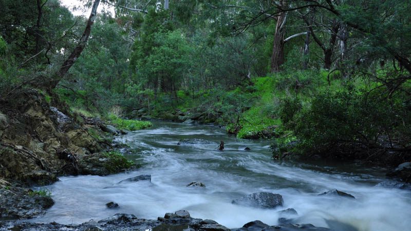
Darebin Creek begins on Melbourne’s northern outskirts (near Woodstock) and travels through rural landscapes before entering urban and industrial areas as the creek flows towards Melbourne.
The Darebin Creek is an important northern tributary of Melbourne’s Yarra River. The creek flows predominantly south for approximately 50 kilometres through several municipalities, including the Cities of Whittlesea, Darebin, Banyule and Yarra, until it meets the Yarra River at Alphington.
The Darebin Creek Catchment drains an area of 129 square kilometres with approximately half of the catchment being rural. The remainder of the catchment consists of urban housing, general industry and commercial development.
The lower reach of the creek runs through a regionally significant section of urban parkland called the Darebin Parklands.
To read a detailed history of the geology of the Darebin Creek catchment, go to
Darebin Creek Catchment Geology

